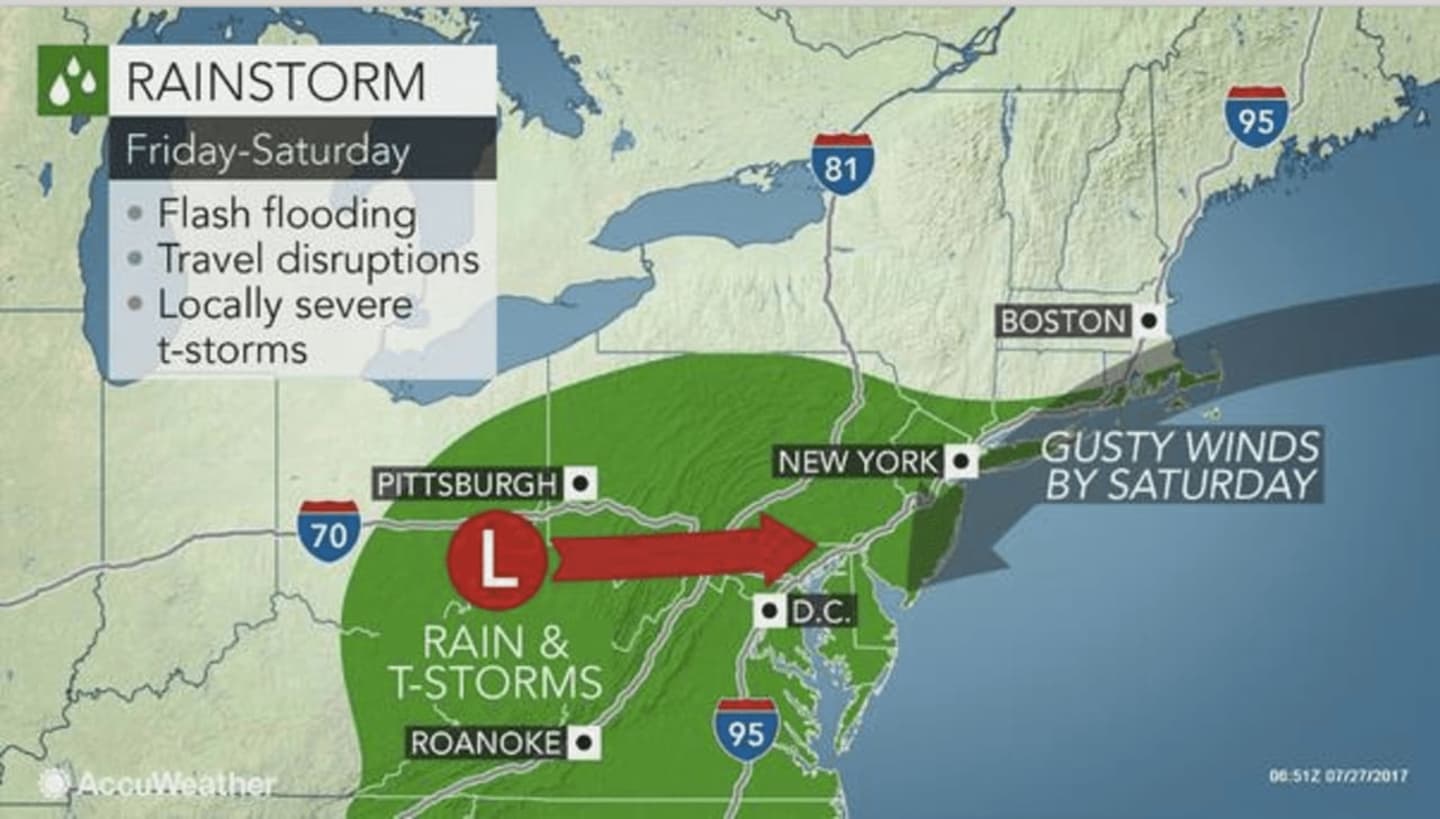
The storm arriving Friday will be unusual since it will unleash steady rain for 12 hours or more in many locations as it moves slowly across the region, according to AccuWeather.com, which notes that in the summer, rainfall typically is limited to a few hours in the absence of a tropical rainstorm.
Areas north of I-84 will see less rain from the system.
The storm will roll eastward along a zone of temperature contrast with unusually cool air to the north and warm, sticky air to the south.
"This type of setup has the potential to deliver very heavy rainfall and raise the risk of flooding," AccuWeather Chief Meteorologist Elliot Abrams said.
Friday will be partly sunny with a high will be in the low-80s and the storm chance starting after 2 p.m.
Showers and thunderstorms will continue overnight and through the day Saturday before taping off in the afternoon during a cloudy day with a high in the low-70s.
Parts of the area could see as much as 2 inches of rain.
Sunday will be pleasant with a high in the low-70s.
Check back to Daily Voice for updates.
Click here to follow Daily Voice White Plains and receive free news updates.