Ahead of the arrival of the system, there will be a mix of sun and clouds on Thursday, Aug. 3 with a high temperature of around 80 degrees amid an increase in humidity after a days-long string of days with comfortable conditions and lower-than-average dew points.
There is a slight chance for showers late Thursday afternoon and into the evening for most of the region, with isolated severe thunderstorms in upstate New York and parts of northern New England, according to the National Weather Service.
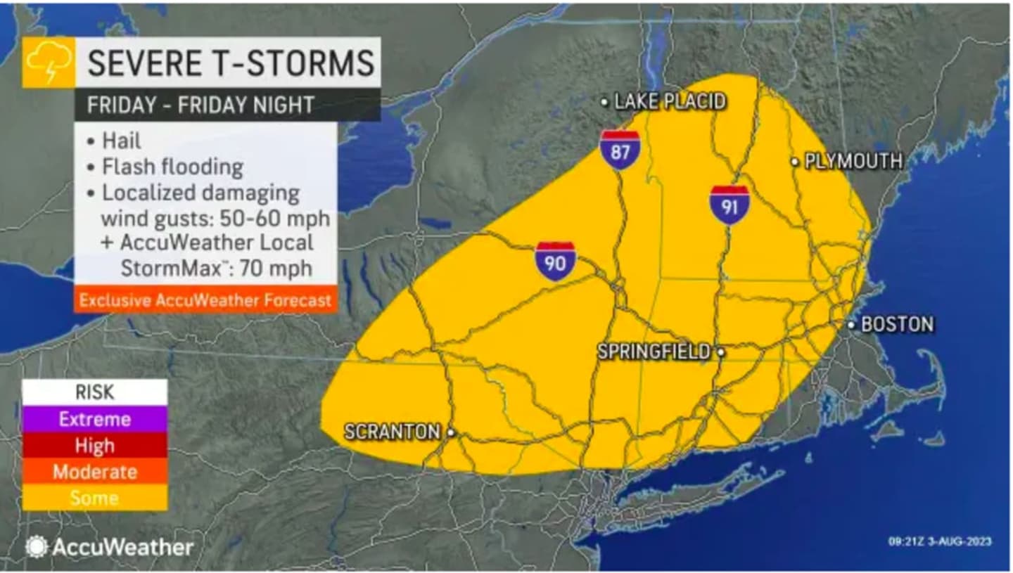
As the front pushes through in the afternoon and evening on Friday, Aug. 4, thunderstorms will be likely.
Rain will be heavy at times with some drenching downpours.
Areas where the most severe storms are expected on Friday are shown in yellow in the image above from AccuWeather.com.
About an inch to 1.5 inches of rainfall is expected before the system pushes off the coast, leading to a mostly sunny and pleasant day on Saturday morning, Aug. 5, with a high temperature in the low 80s.
Look for more of the same on Sunday, Aug. 6 with mainly sunny skies and a high temperature again in the low 80s.
Check back to Daily Voice for updates.
Click here to follow Daily Voice White Plains and receive free news updates.